Tours
Tours
 Destinations
 Attractions
 Golf
Golf Customize
 About Us
 Contact


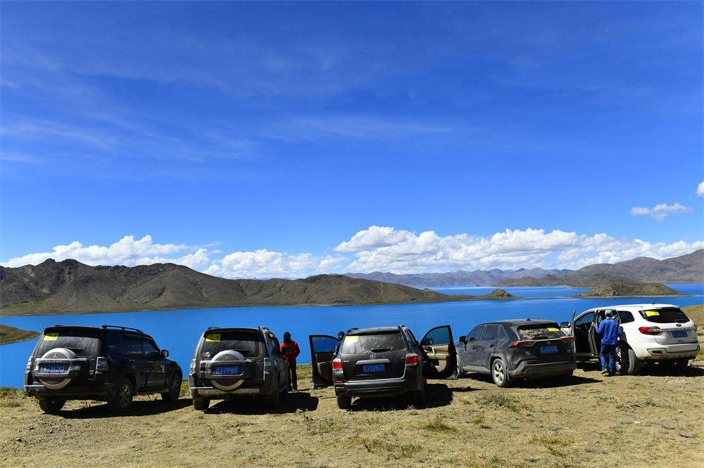
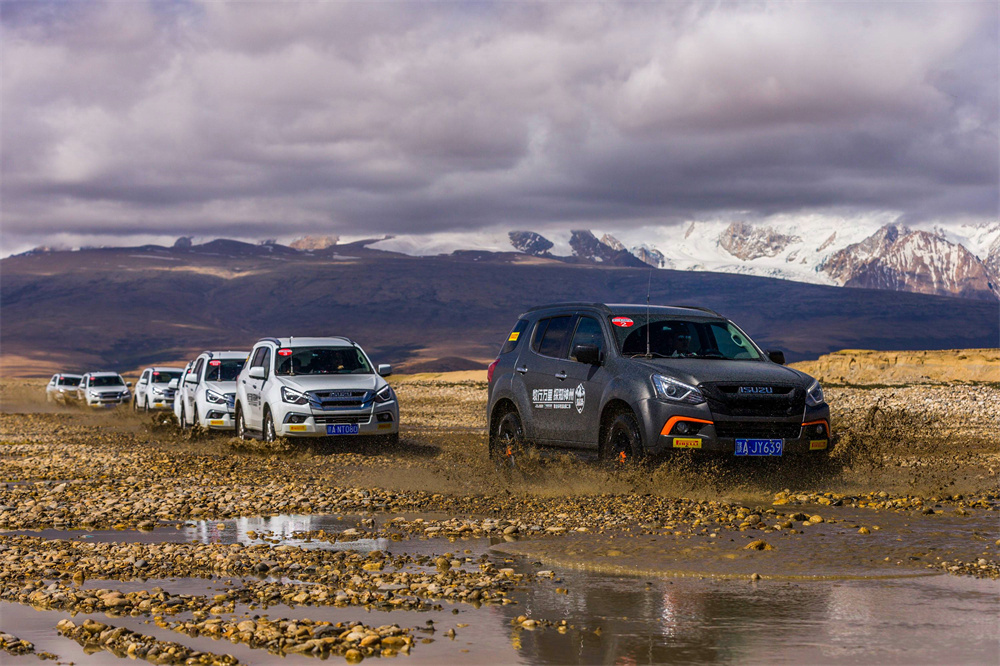
19 Days Silk Road and Central Asia Self-Driving Tour from Kashgar to Turkey
 1
1
| Last Month | Next Month | |||||
|---|---|---|---|---|---|---|
| Sun | Mon | Tue | Wed | Thu | Fri | Sat |
| 28 | 29 | 30 | 01 | 02 | 03 | 04 |
| 05 | 06 | 07 | 08 | 09 | 10 | 11 |
| 12 | 13 | 14 | 15 | 16 | 17 | 18 |
| 19 | 20 | 21 | 22 | 23 | 24 | 25 |
| 26 | 27 | 28 | 29 | 30 | 31 | 01 |
| 02 | 03 | 04 | 05 | 06 | 07 | 08 |


Features
The 17 Days Silk Road and Central Asia Self-Driving Tour from Kashgar to Turkey by Yaso Trip is an epic overland adventure connecting Western China, Central Asia, the Caucasus, and Türkiye through some of the world’s most historic trade routes and spectacular landscapes. Starting from Kashgar, this journey follows the ancient Silk Road across Kyrgyzstan, Uzbekistan, Kazakhstan, Russia, Georgia, and Türkiye before ending in Istanbul, where Europe and Asia meet.
The route combines high mountain passes, vast deserts, alpine grasslands, Black Sea coastal highways, historic Silk Road cities, and vibrant multicultural capitals. Travelers will experience dramatic scenery ranging from the Pamir Plateau and Central Asian deserts to the Caucasus Mountains and Türkiye’s lush Black Sea coastline. Along the way, the journey explores UNESCO World Heritage cities including Samarkand, Bukhara, Khiva, and Istanbul’s famous old city districts.
Designed for adventurous travelers who enjoy cross-border road trips and cultural immersion, this self-driving expedition features a combination of scenic highways, remote desert roads, mountain driving, and relaxed coastal routes. Travelers will encounter ancient caravan cities, Islamic architecture, nomadic cultures, bustling bazaars, Black Sea fishing towns, and modern Eurasian metropolises, creating a truly transcontinental driving experience.
Tour Highlights
Epic Cross-Continental Silk Road Adventure
Drive across 7 countries from China to Türkiye, retracing sections of the historic Silk Road through Central Asia, the Caucasus, and Eastern Europe.
Pamir Plateau & Central Asian Landscapes
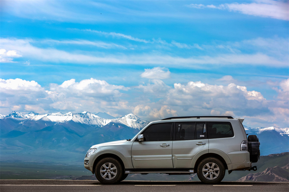
Travel from the edge of the Pamir Mountains near Kashgar into Kyrgyzstan’s alpine valleys, Uzbekistan’s desert plains, Kazakhstan’s steppe landscapes, and the dramatic Caucasus mountain region.
Explore Legendary Silk Road Cities
Discover the timeless Silk Road heritage of:
- Samarkand
- Bukhara
- Khiva
Visit magnificent Islamic architecture, ancient madrasas, caravanserais, bazaars, and UNESCO World Heritage Sites.
Scenic Black Sea Coastal Drive
Experience one of the most beautiful coastal road trips in Eurasia along the Black Sea coast from Batumi to Istanbul, passing tea plantations, fishing villages, dramatic cliffs, mountain tunnels, and seaside towns including Ordu and Sinop.
Caucasus Mountain Crossing
Drive through the spectacular Caucasus Mountains between Russia and Georgia, featuring winding alpine roads, snow-capped peaks, deep valleys, and unforgettable panoramic scenery.
Experience Diverse Cultures & Cuisine
Encounter a remarkable blend of Chinese, Kyrgyz, Uzbek, Kazakh, Russian, Georgian, and Turkish cultures while tasting regional specialties including plov, laghman, Georgian khachapuri, Turkish seafood, kebabs, and Black Sea tea.
Historic Cities & Modern Capitals
Explore vibrant cities along the route including:
- Tashkent
- Tbilisi
- Batumi
- Istanbul
Each city offers a unique blend of architecture, history, religion, and local lifestyle.
Flexible Self-Driving Experience
Enjoy the freedom of independent travel with carefully planned daily driving distances, scenic stop opportunities, and support from Yaso Trip throughout the transcontinental expedition.
Day by Day Itinerary


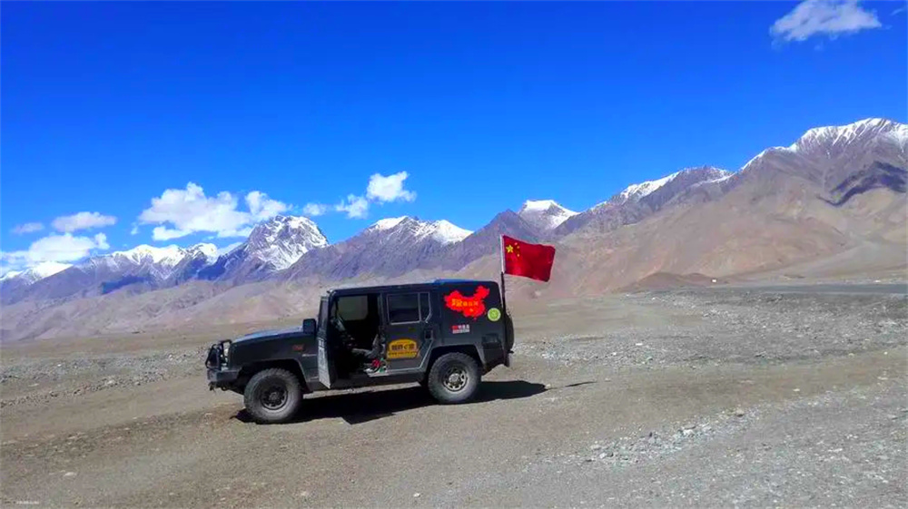
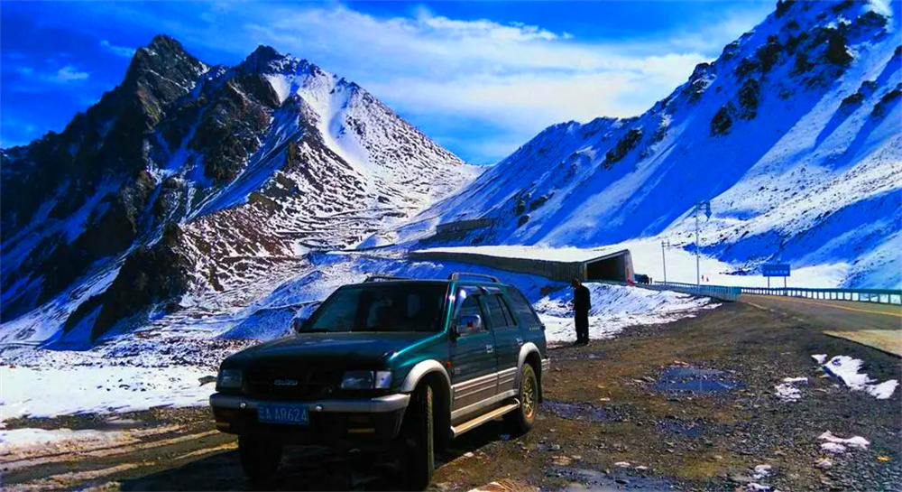
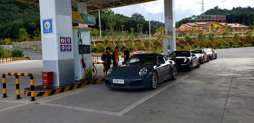
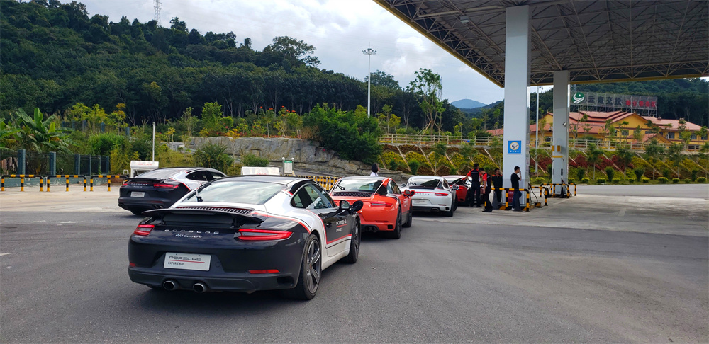
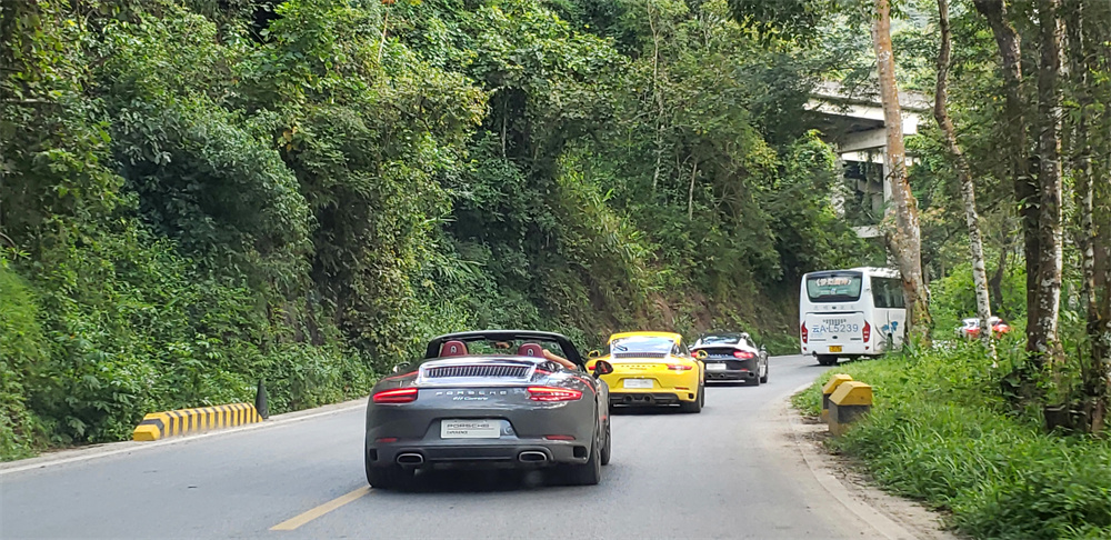
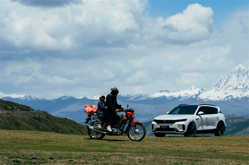
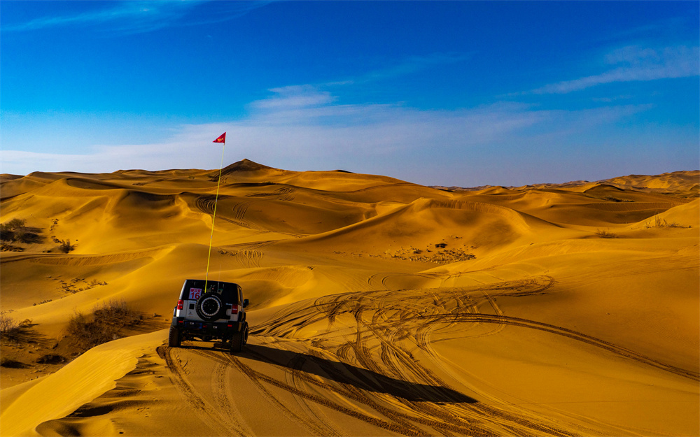
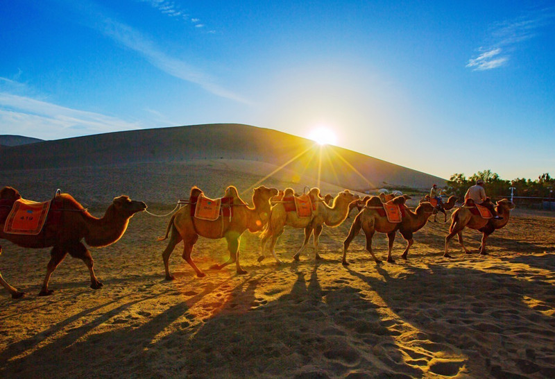
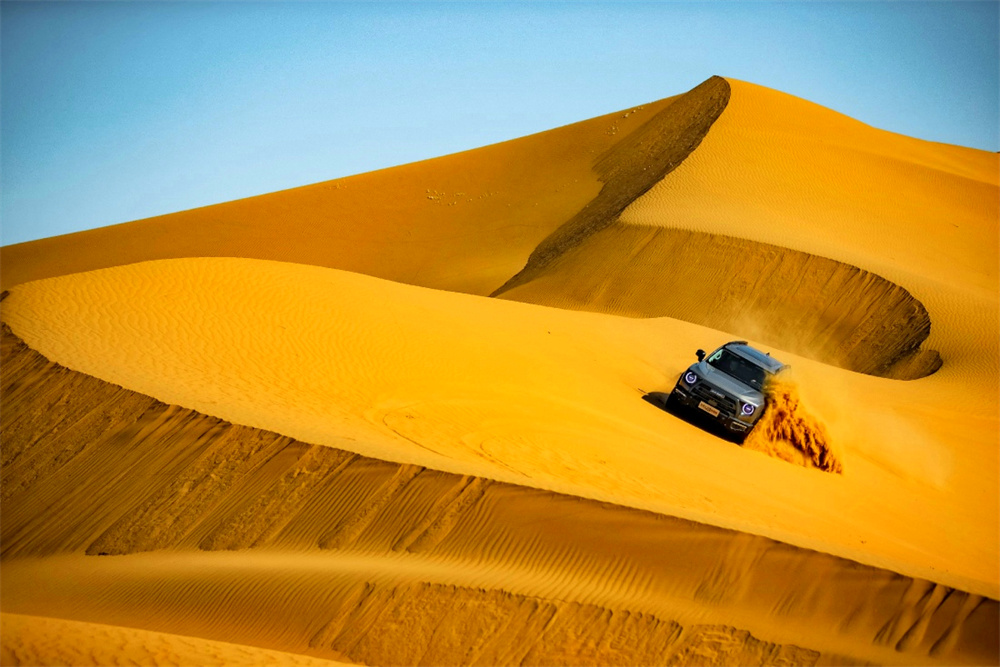
Depart from Kashgar at 08:00 after vehicle pickup and inspection, then drive about 250km (3.5h) toward Irkeshtam Port. The route follows the edge of the Pamir Plateau, where desert foothills transition into vast alpine grasslands, with continuous views of snow-capped peaks, nomadic settlements, and grazing livestock.
Arrive at Irkeshtam Port for Chinese exit and Kyrgyzstan entry procedures, typically taking 2.5–3 hours. Required documents include passport, visa, vehicle customs clearance papers, and international driving permit. A simple lunch can be arranged at the border service area during waiting time.
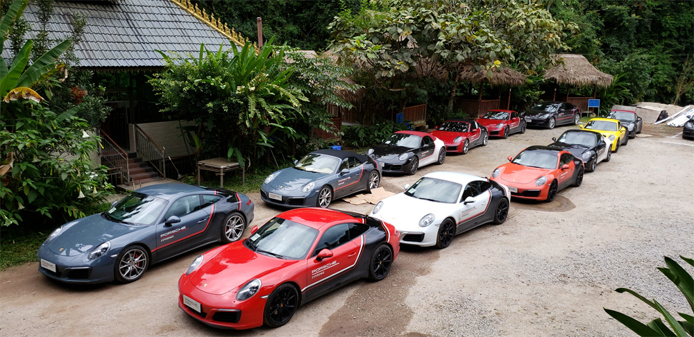
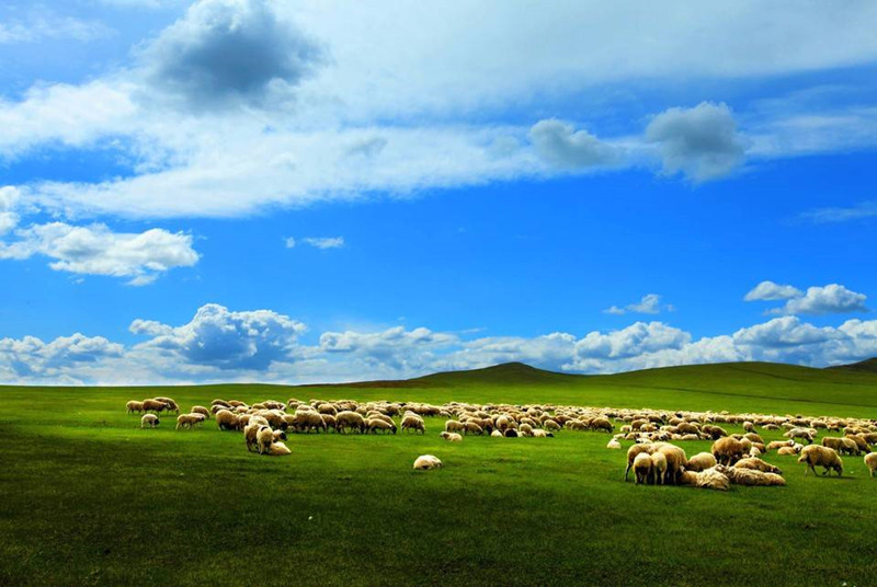
After clearance, continue driving about 100km (1.5h) to Osh, passing through Kyrgyzstan’s alpine valleys and open grasslands, gradually descending into the Fergana Valley, with frequent sightings of sheep and horse herds. Arrive in the evening, check into a local 4-star hotel, and enjoy Kyrgyz cuisine such as manti and laghman.
Distance: ≈350km
Driving Time: ≈5h (excluding border clearance)
Road Condition:
Mountain highway from Kashgar to Irkeshtam with good pavement but continuous curves and elevation changes, potentially slippery in rain or snow. Alpine grassland road from Irkeshtam to Osh is generally flat but narrower, with occasional livestock crossings.
Self Driving Travel Tips:
Prepare all cross-border documents in advance, including visa, passport, vehicle clearance, and international driving permit. Be aware of possible altitude effects near Irkeshtam Port. Drive cautiously in livestock areas, avoid sudden overtaking, and carry sufficient water, snacks, and basic emergency supplies due to limited roadside services.
Depart from Osh at 09:00 after breakfast and drive about 130km (2h) to the Kyrgyzstan–Uzbekistan border. Complete border inspection and entry procedures, which may take 3–5 hours due to low processing efficiency; it is recommended to carry prepared dry food and water for lunch during waiting time.
After crossing the border, continue driving toward Tashkent, passing through Fergana and Almalyk. The route runs across wide plains with cotton fields, farmland, and rural settlements, showing typical Central Asian agricultural landscapes. Roads are mostly flat and open, with long straight sections and limited traffic interruptions.
Arrive in Tashkent in the evening, check into a city-center hotel, then take a short self-driving city loop to Independence Square for night views. Dinner features local Uzbek cuisine before rest.
Distance: ≈320km
Driving Time: ≈6h (excluding border clearance)
Road Condition:
Osh to border section is a rural highway with generally flat surface but uneven pavement and potholes in some areas. Border to Tashkent is a national highway with good asphalt, wide lanes, and mostly straight alignment.
Self Driving Travel Tips:
Arrive early at the border to reduce waiting risk, carry food and water due to long clearance time, and download offline maps before departure due to weak mobile signal in rural areas. Follow strict speed limits (60–80km/h), prepare small cash for minor expenses, and ensure all documents are ready for inspection.
Depart from Tashkent at 09:00 after breakfast and drive about 310km (5h) via the M39 Highway toward Samarkand. The route crosses the Jizzakh Plain, where open steppe landscapes stretch across wide horizons, with noticeable day–night temperature differences and strong seasonal extremes.
Continue through the Jizzakh Pass, entering the Samarkand region. Upon arrival, check into a hotel near the old city for convenient access to major attractions. After a short rest, visit Registan Square, a UNESCO World Heritage site, and explore its monumental Islamic architectural ensemble.
In the evening, enjoy local cuisine such as plov and samsa near the old city, followed by a walk through historic streets reflecting the deep Silk Road cultural heritage, before returning to the hotel.
Distance: ≈310km
Driving Time: ≈5h
Road Condition:
M39 Highway with generally excellent asphalt quality, wide and stable lanes, mostly flat terrain. Gentle elevation changes appear near Jizzakh Pass, with clear signage and well-maintained infrastructure.
Self Driving Travel Tips:
Bring light layers due to strong temperature variation on the Jizzakh Plain, especially cooler mornings and evenings. Use service areas for fuel and rest breaks along the highway. Observe speed limits when crossing the pass, and avoid stopping or photographing in restricted or sensitive religious areas.
After breakfast at 09:00, continue exploring Samarkand’s highlights: Gur-e-Amir Mausoleum, Bibi-Khanym Mosque, and Shah-i-Zinda Mausoleum, immersing in the rich historical and Silk Road heritage. After lunch near the scenic spots, depart for Bukhara, driving about 270km (4h) along well-paved roads that pass through the scenic rural landscapes of two river basins.
Arrive in Bukhara, a UNESCO World Heritage city, and check into a centrally located hotel. Explore the city’s core attractions on foot, including Ismail Samani Mausoleum, Ark Citadel, and Kalon Square, featuring the Kalon Minaret and Kalon Mosque. In the evening, dine near Lyabi-Hauz Square, enjoy the night view, and return to the hotel.
Distance: ≈270km
Driving Time: ≈4h
Road Condition: Well-paved national highway, mostly flat and wide with few bends, passing rural farmland and villages, with light traffic.
Self Driving Travel Tips: Drive cautiously near farmland where farmers or livestock may cross. Avoid driving in Bukhara Old City; park outside and explore on foot. Use sunscreen due to strong sunlight and drink bottled water instead of tap water.
After breakfast at 08:30, depart from Bukhara and drive toward Khiva via Gazli, Urgench, and Pitnak along the M37 and A380 highways (≈395km, 5–6h). The journey crosses wide desert-steppe landscapes of western Uzbekistan, with long straight roads, sparse settlements, and occasional small oasis towns. Stop at Gazli for lunch and a short visit to the local Geology Museum, offering insight into the region’s natural resources. Multiple fuel stations (including Uzbekneftegaz, Lukoil, and Gazprom) are available along the route, allowing convenient refueling.
Continue through Urgench, the main gateway city of the Khorezm region, where a short stop at Darvoza Bazaar offers a glimpse of local daily life before heading toward Khiva. As you approach Khiva, the landscape becomes more historic and atmospheric, leading into one of Central Asia’s best-preserved ancient cities. Upon arrival, check into a hotel near the old city and rest briefly before walking into Ichan-Kala, a UNESCO World Heritage site enclosed by ancient fortress walls. Explore its illuminated streets in the evening and enjoy local snacks in a traditional setting.
Distance: ≈395km
Driving Time: ≈5–6h
Road Condition: M37 and A380 highways are generally smooth and flat with good asphalt quality, though some rural stretches are narrower and require attention. Traffic increases slightly near Urgench, with more intersections and local vehicles.
Self Driving Travel Tips: Maintain fuel above half tank due to long desert sections between towns. Parking is required outside Khiva Old City (Ichan-Kala) as the area is pedestrian-only. Drive carefully in rural zones and near markets, where pedestrians and animals may cross unexpectedly. Carry insect repellent and light protection for warm desert evenings.
After breakfast in Khiva, take a short walk inside the UNESCO-listed Ichan-Kala to appreciate its mud-brick walls, minarets, and caravanserai atmosphere before beginning a long desert crossing toward Beyneu. Departing Khiva, the route gradually transitions from irrigated oasis landscapes into the vast Kyzylkum Desert, where long straight roads stretch across arid plains with minimal settlements.
Midday stop is recommended at a roadside service point near Gazli, where simple local restaurants and basic facilities are available. This is the last relatively comfortable refueling and rest opportunity before deep desert driving. The environment becomes increasingly dry and exposed, with strong sun and occasional wind-blown sand, so hydration and sun protection are essential.
In the afternoon, continue across the remote desert highway where scenery becomes sparse, broken only by occasional farms, pipeline infrastructure, and distant dunes. Navigation support is important due to limited signage and long empty stretches. By evening, arrive in Beyneu, where you complete Uzbekistan exit procedures and Turkmenistan entry formalities, then settle into a local hotel for rest after a demanding border-crossing day.
Driving distance: ~450 km
Driving time: ~6–7 hours (excluding border clearance time)
Driving road condition: Mostly desert highway with long straight sections; generally flat but uneven pavement in parts; minimal services; low visibility signage; exposed to strong sun and possible sandstorms
Self driving travel tips: Carry at least 2–3 liters of water per person, fuel up before leaving Khiva, keep all border documents easily accessible, avoid driving during sandstorm conditions, and plan rest breaks in advance due to extremely limited roadside facilities.
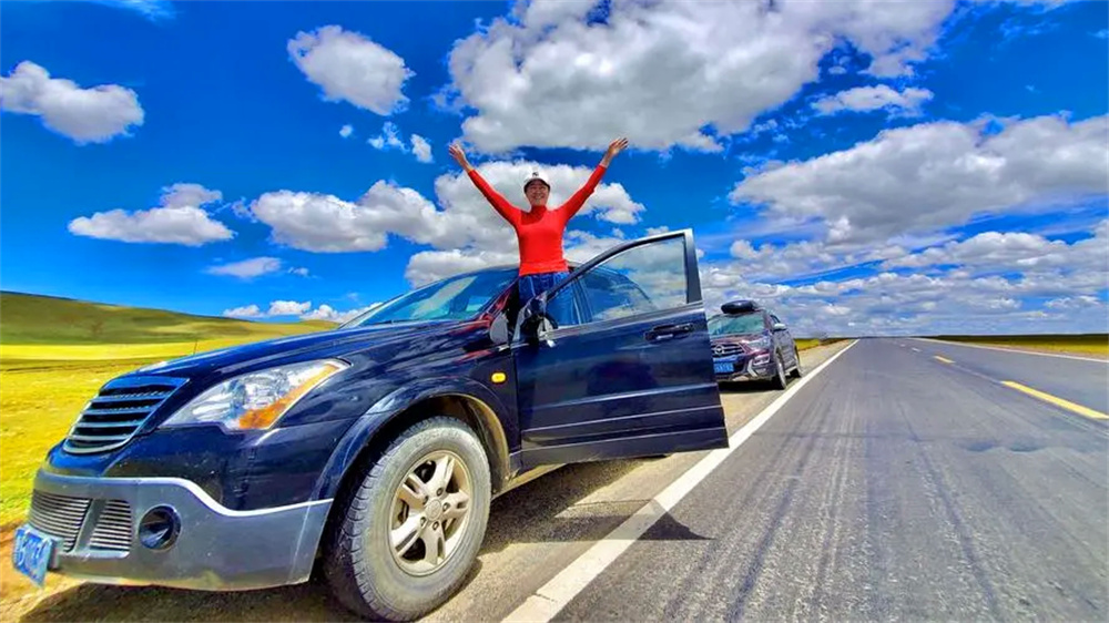
Start early in the morning from Beyneu (Бейнеу, Beyneu) and begin your long-distance drive toward the Kazakhstan border. The road leaving Beyneu is wide, open, and quiet, cutting through vast desert and semi-arid steppe landscapes. This initial stretch offers a strong sense of isolation and endless horizon views, with very limited traffic and few settlements along the way.
After approximately 70 km, you will reach the border checkpoint. This is one of the most important stages of the day, and border procedures may take around 1–2 hours depending on traffic and documentation checks. Make sure your passport, visa, and vehicle permits are fully prepared and easily accessible to avoid unnecessary delays.
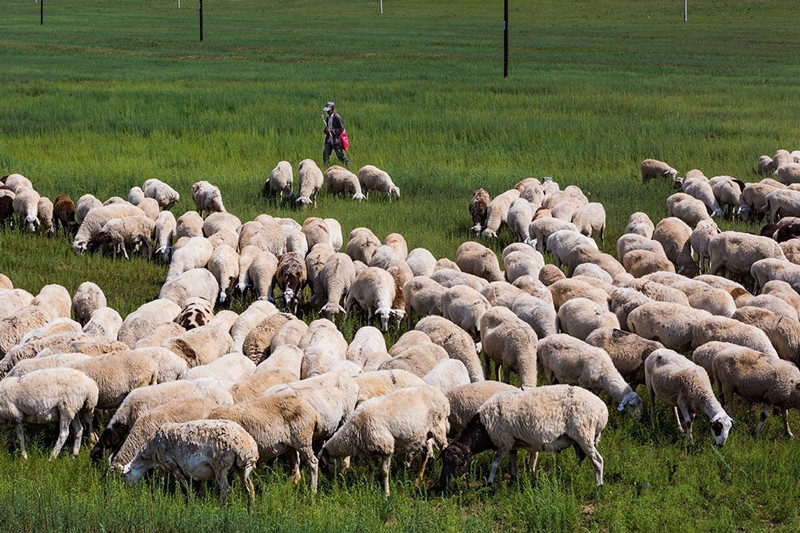
Once you enter Kazakhstan, continue your drive toward Karakiya (Қаракия, Karakiya), covering around 200 km of mostly straight and well-paved highway. This section of the route is simple to navigate but extremely remote. Fuel stations, restaurants, and rest facilities are limited, so it is strongly recommended to refuel in advance and carry sufficient drinking water, snacks, and emergency supplies. Along the way, you will pass through classic Kazakh desert scenery, with wide open plains, occasional shepherd settlements, and herds of livestock crossing the landscape.
Upon reaching Karakiya, take a short rest stop to refresh. This is a good place to stretch your legs, have a quick meal, or drink coffee before continuing the final leg of the journey toward Atyrau (Атырау, Atyrau).
The last segment is approximately 250 km. Road conditions remain generally smooth and paved, but traffic gradually increases as you approach Atyrau city. As you enter the urban area, the landscape begins to shift, and you will soon reach the banks of the Ural River (Ural River), a symbolic geographic landmark dividing Europe and Asia. This area is ideal for a short photo stop or a brief riverside walk before arriving in the city center.
Overall, the journey offers a mix of remote desert driving and gradual urban transition, making it both scenic and unique.
Driving distance: ~520 km
Driving time: ~7–9 hours (including border crossing and stops)
Driving road condition:
Mostly paved highways with long straight desert roads; minimal services between settlements; occasional uneven or sandy sections in remote areas; light traffic except near Atyrau.
Self-driving travel tips:
Depart early in the morning to avoid border congestion and ensure enough daylight for the long drive. Fill up fuel in Beyneu before departure, as fuel stations are sparse along the route. Carry sufficient water, snacks, and basic emergency supplies. Keep all documents ready for border inspection to reduce waiting time. Drive carefully in desert areas due to possible strong winds, sand patches, and livestock crossings. As you approach Atyrau, expect increasing traffic and adjust speed accordingly.
Depart from Atyrau after breakfast and drive north toward the Kazakhstan–Russia border, heading to the Kotyaevka / Kurmangazy checkpoint. The first leg of the journey runs across long, open steppe highways with minimal settlements, gradually transitioning from Kazakhstan’s flat landscapes into more structured border infrastructure. After arrival, complete border inspection, vehicle insurance registration, and entry formalities, which may require additional waiting time depending on traffic flow.
Once border procedures are completed, continue toward Astrakhan, entering southern Russia where the road opens into wide plains shaped by the lower Volga region. The landscape becomes greener and more river-influenced compared to the Kazakh steppe, signaling a shift into European Russia’s geographic environment.
By evening, arrive in Astrakhan, a historic city on the Volga River delta known for its multicultural heritage and river landscapes. Check into a central hotel, then enjoy a relaxed dinner featuring traditional Russian cuisine such as borscht and pelmeni before resting.
Driving distance: ~480 km
Driving time: ~6 hours (excluding border clearance time)
Driving road condition: Flat steppe highway with smooth pavement; long straight sections; low traffic density; clear road signage; well-maintained cross-border road segments
Self driving travel tips: Ensure vehicle insurance is completed at the border before entering Russia, carry an international driving permit at all times, prepare Russian rubles in advance for fuel and expenses, and follow strict speed enforcement rules on open highways.
After breakfast in Astrakhan, depart southward toward Vladikavkaz, covering a distance of about 611 km across diverse landscapes including plains, river valleys, and the foothills of the North Caucasus. The route passes through Dagestan, Chechnya, and Ingushetia, offering varied scenery from flat steppe to winding mountainous roads.
Stop at Hasavyurt for lunch and a short rest. Following Russian transport safety recommendations, take a minimum 15-minute break after 4 hours of driving and additional breaks every 2 hours to maintain alertness. In the afternoon, continue through Nazran and surrounding towns, entering the mountainous regions with narrow roads and sharp bends before reaching Vladikavkaz, a key city in the North Caucasus near the Georgian border.
Arrive in Vladikavkaz in the evening, check into a local hotel, and enjoy dinner at a nearby restaurant. Rest early to prepare for the next day’s border crossing into Georgia.
Driving distance: ~611 km
Driving time: ~7.5–8 hours
Driving road condition: Mixed terrain—flat and smooth plains, winding mountain roads with steep slopes; good pavement overall but narrow in some sections; low traffic volume with occasional large vehicles
Self driving travel tips: Take scheduled breaks to avoid fatigue, drive cautiously in mountainous sections with poor visibility, turn on fog lights in rain or fog, download offline maps due to unstable mobile signals, and avoid photographing military facilities.
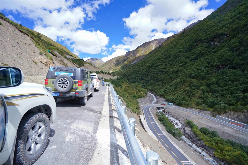
Depart from Vladikavkaz after breakfast and drive a short distance to the Russia–Georgia border, where formalities are completed before entering the Caucasus region. This crossing marks one of the most scenic segments of the entire route, transitioning quickly from urban outskirts into dramatic mountain terrain.
After border clearance, continue toward Tbilisi, driving through the heart of the Caucasus Mountains. The route features winding alpine roads, deep valleys, and snow-capped peaks depending on the season, offering continuous panoramic mountain views along the way. Road conditions remain stable but require careful driving due to curves and elevation changes.
Arrive in Tbilisi, the capital of Georgia, in the afternoon and check into a hotel located in the historic old town. After rest, explore key landmarks including Narikala Fortress, Sioni Cathedral, and the atmospheric old city streets, where Eastern European and Middle Eastern influences blend into a unique cultural setting.
In the evening, enjoy traditional Georgian cuisine near the old town, then take a relaxed walk through illuminated streets before returning to the hotel.
Driving distance: ~250 km
Driving time: ~4 hours (excluding border clearance time)
Driving road condition: Mountain highway through the Caucasus; winding roads with frequent curves and elevation changes; generally well-paved but requires careful driving; high scenic value throughout the route
Self driving travel tips: Prepare all visa and vehicle documents in advance to reduce border delays, drive cautiously on mountain curves without overtaking, use lower gears on steep sections, exchange Georgian lari at the border if needed, and allow time for altitude-related fatigue in high mountain areas.
Depart from Tbilisi after a short city visit including the Georgian National Museum and Freedom Square, then begin the westward drive across Georgia toward the Black Sea coast. The route gradually transitions from urban landscapes into rolling countryside, passing vineyards, river valleys, and small rural towns that reflect Georgia’s diverse geography.
Midway, stop at Gori or Borjomi for lunch, with optional short sightseeing detours if time allows. This section offers a comfortable driving rhythm with wide roads and scenic interludes, making it one of the more relaxed driving days of the itinerary.
In the afternoon, arrive in Batumi, a vibrant coastal city on the Black Sea. Check into a hotel near Black Sea Boulevard, then enjoy a leisurely walk along the 7-km seaside promenade lined with modern sculptures, cafés, and beaches. The atmosphere shifts fully to a resort-style coastal environment.
In the evening, watch the sunset over the Black Sea, enjoy fresh seafood dinner at a seaside restaurant, and return to the hotel to rest.
Driving distance: ~370 km
Driving time: ~4–5 hours
Driving road condition: National highway with smooth pavement; mostly flat terrain; occasional intersections near Gori; moderate traffic; clear signage and good visibility
Self driving travel tips: Use designated parking areas in Gori or Borjomi to avoid fines, follow one-way traffic rules in Batumi coastal areas, apply sun protection due to strong UV exposure along the coast, and prefer bottled water instead of tap water for drinking.
A scenic cross-border road journey from Batumi (Georgia) to Ordu (Türkiye) follows the dramatic Black Sea coastline, passing through tea-growing valleys, mountain tunnels, and lively coastal towns. Total distance is around 340–380 km, with 6–8 hours driving time depending on border conditions and stops.
Early Morning Departure: Batumi → Sarpi Border Crossing
Leaving Batumi City
Start early from Batumi and head south along the coastal highway toward the Sarpi Border Crossing, about 20 km away. The route is smooth and scenic, with views of the Black Sea and green hills.
Border Crossing Procedure
At Sarpi, prepare for passport control and vehicle inspection. Waiting time can range from 30 minutes to 2 hours, depending on traffic volume. Keep passports, vehicle documents, and insurance ready to speed up the process.
Entering Türkiye: Sarpi → Hopa → Rize Scenic Coast
Hopa Coastal Section
After crossing into Türkiye, you immediately reach Hopa, a small coastal town surrounded by steep green mountains. The road becomes more winding but highly scenic.
Rize Tea Plantations Drive
Continue toward Rize, the heart of Turkey’s tea region. This stretch is one of the most beautiful parts of the journey, with endless tea terraces, waterfalls, and Black Sea viewpoints.
Recommended Stop in Rize
Take a break in Rize city or nearby Çayeli for Turkish breakfast (kahvaltı) and tea. This is also a good place to refuel and rest before the longer drive ahead.
Midday Journey: Rize → Trabzon
Coastal Highway Drive
Continue west along the Black Sea coast toward Trabzon, about 1.5–2 hours away. The road alternates between sea cliffs and mountain tunnels, offering constant scenic views.
Trabzon City Break
Trabzon is the largest city in the region and a good midpoint stop. You can enjoy lunch, stretch, and explore the seaside promenade or harbor area before continuing.
Afternoon Drive: Trabzon → Ordu
Leaving Trabzon
Head west out of Trabzon along the coastal highway. Traffic may be slightly heavier near the city but quickly becomes smoother as you exit urban areas.
Scenic Coastal Stretch
This section toward Ordu features rolling green hills, hazelnut orchards, and quiet coastal villages. The Black Sea remains visible in several stretches, offering great photo stops.
Arrival in Ordu: Sunset Experience
City Entrance & Atmosphere
Arrive in Ordu in the late afternoon or early evening. The city is relaxed, clean, and stretched along a long coastline.
Boztepe Cable Car Viewpoint
Take the cable car up to Boztepe hill for a panoramic view of the Black Sea, city lights, and sunset. It is one of the most recommended experiences in Ordu after a long drive.
Driving Overview & Travel Tips
Route Summary
Total distance: 340–380 km
Driving time: 6–8 hours (including stops and border crossing)
Road Conditions
Roads are generally in excellent condition along the Turkish coast. Expect winding mountain sections near Rize and moderate traffic near Trabzon.
Practical Tips
Depart from Ordu early in the morning and follow the scenic D010/E70 Black Sea coastal highway westward toward Sinop. The distance from Ordu to Sinop is about 330 km, with a driving time of around 5–5.5 hours. The road condition is generally very good, consisting mostly of modern coastal highways with smooth pavement, tunnels, and seaside mountain sections. Along the way, you will pass beautiful Black Sea coastal towns such as Fatsa, Ünye, and Samsun, with continuous sea views, green hills, hazelnut orchards, and fishing villages lining the route.
Arrive in Sinop around midday for sightseeing and lunch. Sinop is one of the most charming harbor cities on Türkiye’s Black Sea coast, famous for its historic harbor, fortress walls, fishing culture, and relaxed atmosphere. You can stroll around the waterfront, visit the old city area, and enjoy a seafood lunch featuring fresh Black Sea fish and traditional Turkish tea. If time allows, a short detour to Hamsilos Bay offers beautiful fjord-like coastal scenery surrounded by dense forest.
After lunch, continue driving from Sinop to Abana, covering approximately 180–200 km in about 3.5–4 hours. This section is one of the most scenic parts of the Black Sea coastline, with winding coastal mountain roads, forest-covered hills, dramatic sea cliffs, and quiet fishing villages. Road conditions remain decent overall, though some sections are narrower and more curved compared with the highway near Samsun, requiring careful driving, especially during rainy or foggy weather.
Arrive in Abana in the evening and enjoy a peaceful seaside atmosphere. Abana is a quiet Black Sea beach town known for its long sandy coastline, calm environment, and traditional coastal lifestyle. A relaxing beach walk and local seafood dinner make a perfect ending to this full-day Black Sea coastal road trip.
Driving Tips
Distance: Approx. 580 km
Driving Time: Approx. 9 hours
Route: Adana → O-51 → D-750 → Aksaray → D-300 → Cappadocia (Göreme / Uçhisar)
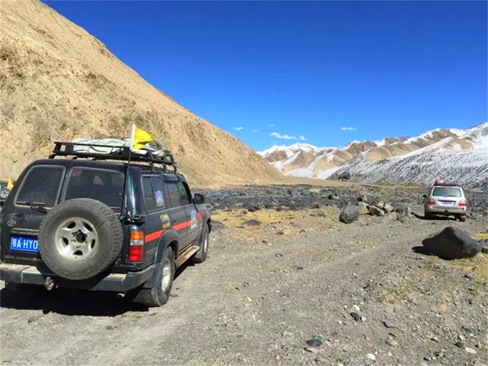
Depart from Adana after breakfast and vehicle inspection. The route gradually climbs from the Mediterranean coast into the vast Central Anatolian Plateau, transitioning from green mountain scenery to dry highland landscapes. After a lunch stop near Aksaray, continue toward Cappadocia, where the region’s iconic fairy chimneys and volcanic rock formations begin to appear near Göreme. Arrive in the late afternoon and check into a traditional cave hotel before heading to a nearby viewpoint for sunset over the valleys.
Scenic Highlights
The drive passes the northern foothills of the Taurus Mountains, offering dramatic mountain scenery and changing vegetation. Central Anatolia features open plains, scattered villages, and wide horizons with a strong sense of remoteness. Near Cappadocia, salt-flat terrain and wind-eroded volcanic formations create an increasingly surreal landscape before the famous “moon-like” valleys emerge around Göreme and Uçhisar.
Road Conditions
The first section follows modern highways and well-maintained national roads with speed limits of 90–110 km/h. Midway through the plateau, roads remain smooth but include more trucks and gentle elevation changes. The final approach into Cappadocia becomes narrower and more winding, with occasional falling-rock zones and reduced visibility near sunset.
Self-Driving Tips
Temperature differences between daytime and evening can be significant, so light down jackets or windproof layers are recommended. Fuel stations become less frequent across the plateau, making regular refueling essential. GPS signal may fluctuate in valleys and mountain areas, so offline maps should be downloaded in advance. Because this is a long driving day, breaks every two hours are strongly advised. Reaching Göreme or Uçhisar before sunset is ideal for safer driving conditions.
Accommodation
Stay overnight in a traditional cave hotel in Göreme or Uçhisar. Many properties feature panoramic terraces overlooking the valleys and sunrise hot air balloons while offering a quiet and uniquely Cappadocian atmosphere.
Distance: Approx. 35–40 km scenic loop
Driving Time: Approx. 4–5 hours including sightseeing and short hikes
Begin the day before sunrise for Cappadocia’s signature hot air balloon experience. After an early transfer to the launch site, watch hundreds of balloons rise above the valleys and fairy chimneys during sunrise. Return to the hotel for breakfast before exploring the Göreme Open-Air Museum, famous for its rock-cut churches and Byzantine frescoes. In the afternoon, continue to Uçhisar Castle for panoramic views across the region, then finish the day with a sunset hike through Rose Valley and Red Valley before enjoying a traditional Turkish dinner.
Scenic Highlights
The sunrise balloon flight provides sweeping aerial views of volcanic valleys, stone pinnacles, and cave dwellings. Göreme Open-Air Museum preserves centuries-old rock-carved monasteries and churches decorated with Byzantine murals. Uçhisar Castle stands as the highest natural viewpoint in Cappadocia, overlooking the surrounding valleys and villages. During sunset, Rose Valley and Red Valley glow with pink and golden tones, creating one of Türkiye’s most photogenic landscapes.
Road Conditions
Most roads inside Cappadocia are paved but narrow, with frequent curves and steep inclines. Short gravel sections appear near some hiking trail entrances and valley viewpoints, though they remain accessible to standard vehicles when driven slowly.
Self-Driving Tips
Early morning temperatures can drop to 5–10°C during balloon flights, so warm and windproof clothing is necessary. Parking around major attractions fills quickly, especially near Göreme Open-Air Museum. Proper hiking shoes are recommended for valley walks due to loose gravel and uneven slopes. Although daily driving distance is short, refueling in the evening is recommended before the following long-distance drive.
Accommodation
Continue staying in the same cave hotel to enjoy sunrise balloon views directly from the terrace without changing accommodation.
Distance: Approx. 720 km
Driving Time: Approx. 9.5 hours
Route: Göreme → D-300 → Aksaray → D-750 → Ankara Ring Road → O-4 / E-80 → Istanbul
Depart Cappadocia early in the morning to maximize daylight driving time and avoid evening congestion entering Istanbul. After leaving the volcanic valleys behind, the route crosses the open plains of Central Anatolia before reaching Tuz Gölü, Türkiye’s famous salt lake known for its reflective white landscape. Continue past Ankara without entering the city center, then follow the high-speed O-4 motorway west toward the Marmara region and Istanbul. Arrive in the evening and settle into a hotel near the Old City.
Scenic Highlights
The landscape gradually transitions from Cappadocia’s volcanic terrain into vast agricultural plains filled with wheat and sunflower fields. Tuz Gölü creates a surreal white panorama often described as Türkiye’s “Sky Mirror.” Approaching Istanbul, rural scenery slowly gives way to dense urban development, modern highways, and distant Bosphorus views.
Road Conditions
Roads between Cappadocia and Ankara are generally smooth and lightly trafficked, though plateau sections can experience strong crosswinds. The O-4/E-80 motorway toward Istanbul is modern and fast but often crowded with trucks and long-distance traffic. Traffic density increases significantly near Istanbul, especially during late afternoon and evening rush hour.
Self-Driving Tips
Strong side winds are common across the Anatolian Plateau, requiring careful steering control. Most rental cars already include electronic toll systems for Turkish highways. Istanbul’s Old City contains narrow streets, steep roads, and limited parking, so hotels with parking facilities or valet service are highly recommended. Long driving hours make regular rest breaks and driver rotation especially important.
Accommodation
Stay in the Sultanahmet or Old City area for convenient walking access to Istanbul’s major historical attractions, restaurants, and tram connections.
No driving is recommended today. Explore the historic center entirely on foot and by public transportation after returning the rental vehicle.
Spend the day discovering Istanbul’s most iconic historical landmarks. Begin with Hagia Sophia, one of the world’s great architectural masterpieces, followed by the nearby Blue Mosque with its famous blue İznik tiles and six minarets. After lunch, descend into the atmospheric Basilica Cistern before exploring the colorful lanes and shops of the Grand Bazaar. End the journey with a sunset Bosphorus cruise between Europe and Asia, followed by a farewell Turkish dinner.
Scenic Highlights
Hagia Sophia showcases monumental Byzantine architecture and centuries of imperial history. The Blue Mosque represents the height of Ottoman religious architecture with elegant domes and intricate tilework. Basilica Cistern offers a mysterious underground world of stone columns and reflections, while the Grand Bazaar immerses visitors in centuries-old trading culture filled with spices, carpets, ceramics, and handcrafted goods. A Bosphorus cruise provides panoramic views of mosques, palaces, waterfront mansions, and suspension bridges connecting two continents.
Local Travel Tips
The Old City contains many stone-paved streets and steep hills, making comfortable walking shoes essential. Modest clothing is required when visiting mosques, especially for women entering prayer areas. Bargaining is common inside the Grand Bazaar, where negotiated prices are expected. Before returning the rental car, photograph the vehicle, confirm fuel levels, and review deposit return procedures carefully.
Distance: Approx. 45 km
Driving Time: Approx. 1 hour depending on traffic
Enjoy a relaxed final morning in Istanbul with breakfast and free time for last-minute shopping or walking around nearby neighborhoods. Depart for Istanbul International Airport with additional buffer time for urban traffic and airport procedures. After check-in and security clearance, board the international return flight and conclude the Türkiye self-driving journey.
Departure Tips
Traffic around Istanbul can become extremely congested during peak hours, so early departure for the airport is strongly recommended. International flights generally require arrival at least three hours before departure. Before leaving the hotel, confirm passports, baggage, tax refund documents, and all personal belongings to ensure a smooth return journey.
Related Tours

Price Description